Boulevard means rampart
The word gives the game away. Boulevard derives from a term for a rampart or bulwark, not from anything to do with elegance or shade.
The Grands Boulevards on the Right Bank follow the line of a defensive wall that was demolished in the seventeenth century under Louis XIV, once the frontier had moved far enough out that Paris no longer needed it. The wall came down; the strip it occupied became a promenade. That is why those particular boulevards curve — they are tracing a fortification.
So the elegant Parisian street begins as military infrastructure being decommissioned. That lineage matters, because a century and a half later the city would deliberately build streets with a control function again.
Cholera, barricades, and a city in crisis
By the middle of the nineteenth century central Paris was dense, largely medieval in plan, and repeatedly hit by cholera. The street pattern was narrow, the water supply was inadequate, and the drainage was worse.
It was also, repeatedly, the site of insurrection. Parisians had built barricades across those narrow streets in 1830, in 1848, and would again. A city of tight lanes is easy to barricade and hard to clear.
Napoleon III came to power with both problems in front of him, and with a clear preference for solving them at once.
Napoleon III and the artist of demolition
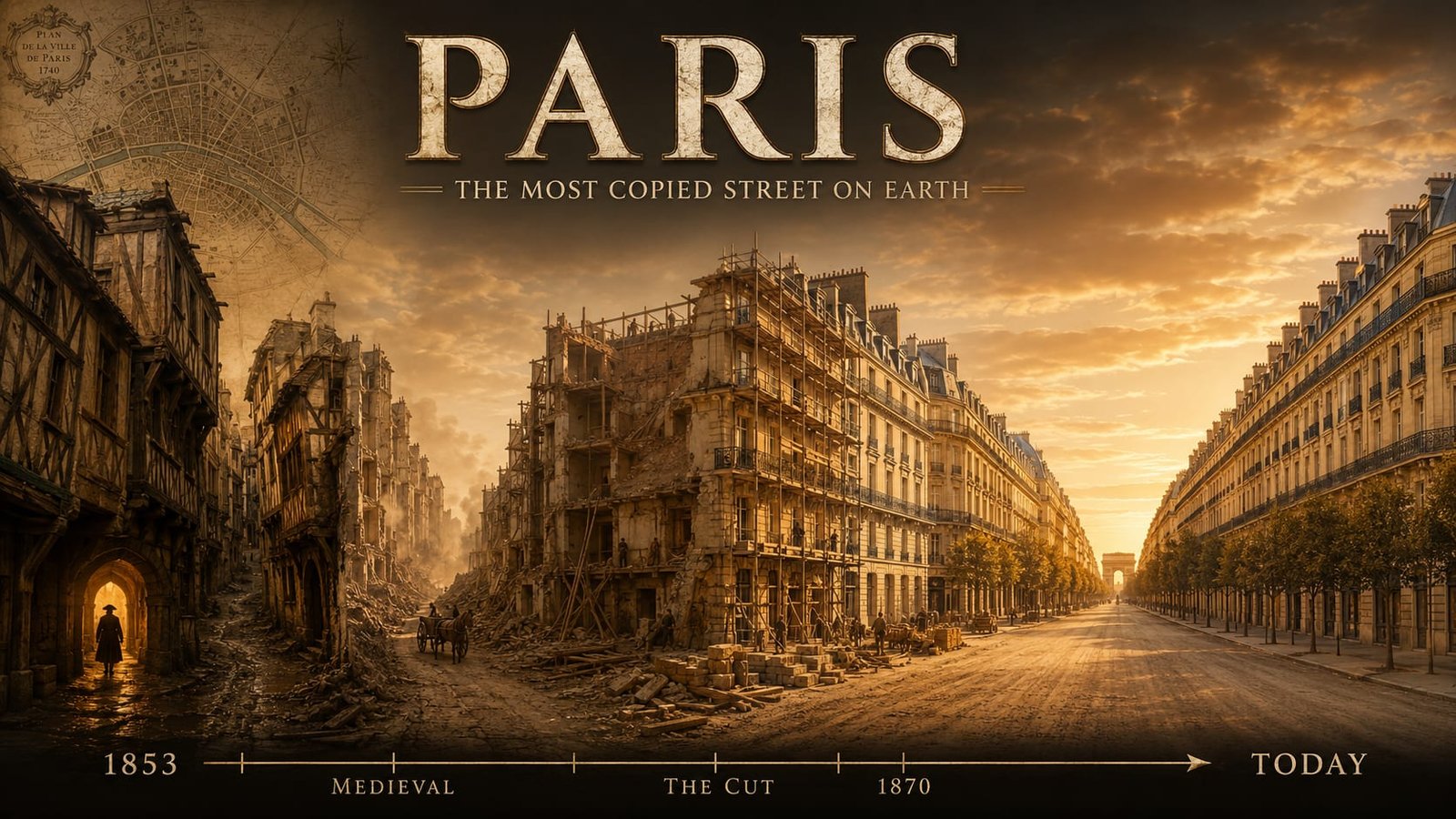
Georges-Eugène Haussmann was appointed Prefect of the Seine in 1853. He was not an architect and did not design buildings. He was an administrator, and the tools he used were legal and financial: expropriation powers to acquire property along a proposed line, and municipal borrowing at a scale that alarmed his critics and eventually contributed to his dismissal in 1870.
The work itself is easy to state and was brutal to carry out. Draw a line. Buy — or compel the sale of — everything on it. Demolish. Build a straight, wide street with services underneath and regulated buildings along the sides.
The boulevard as an instrument
Look down a Haussmann avenue and there is almost always something at the end of it: a church, a column, an opera house, an arch.
That is deliberate. The avenues were aligned to terminate on monuments, which does something specific to a viewer — it converts a street from a route into a composition. You are not simply going somewhere, you are being shown something, and the city appears to have been arranged for your eye.
Whether the width was also chosen to make barricades impractical and to let troops and artillery move quickly is the standard claim, and it is genuinely contested. Wide straight streets do help a state control a crowd, and Napoleon III had every reason to want that. They also help with traffic, light, air and sewers, which is what the official case emphasised. Both things can be true, and the sources do not settle how the priorities were weighted.
The façade and the hidden city
The uniformity people notice is the result of regulation, not taste.
Building heights were tied to the width of the street. Floor lines were required to align with neighbours, so cornices and string courses run continuously along a whole block. Balconies appear on specified storeys. Roof pitch and material were controlled.
The effect is that a row of separately owned private buildings is required to behave as one public surface. That is the actual mechanism behind “Paris looks composed”: not a single architect, but a rule set applied to hundreds of individual owners.
Underneath, the programme laid the part that did the most good and gets the least attention — a greatly expanded network of sewers and water mains. That is what addressed the cholera. The boulevards got the credit; the pipes did the work.
What it cost
The clearances removed the housing of tens of thousands of poorer Parisians from the centre, and they moved outward, into the periphery, largely without provision.
This is the part of the story with the thinnest documentation, and it is not an accident that the most photographed streetscape on Earth is also the one whose displaced population is hardest to trace.