1666: the fire that changed the buildings, not the map
The Great Fire destroyed the built fabric of most of the City of London in four days. What it did not destroy was the plan.
Christopher Wren produced a proposal for a rebuilt City within days of the fire going out: broad avenues, regular blocks, monuments at intersections — recognisably the sort of thing Paris would do two centuries later. It was set aside almost immediately.
The reason is unglamorous and decisive. A grid requires reallocating land. Every burnt plot in the City had an owner, a lease, a boundary and a claim, and thousands of those claims would have had to be resolved before the first new wall could go up. Londoners needed to rebuild that year, not after a decade of litigation.
So they rebuilt on their own footprints. The buildings changed — brick and stone rather than timber, by statute — but the medieval street pattern was reinstated by default, and it is still there.
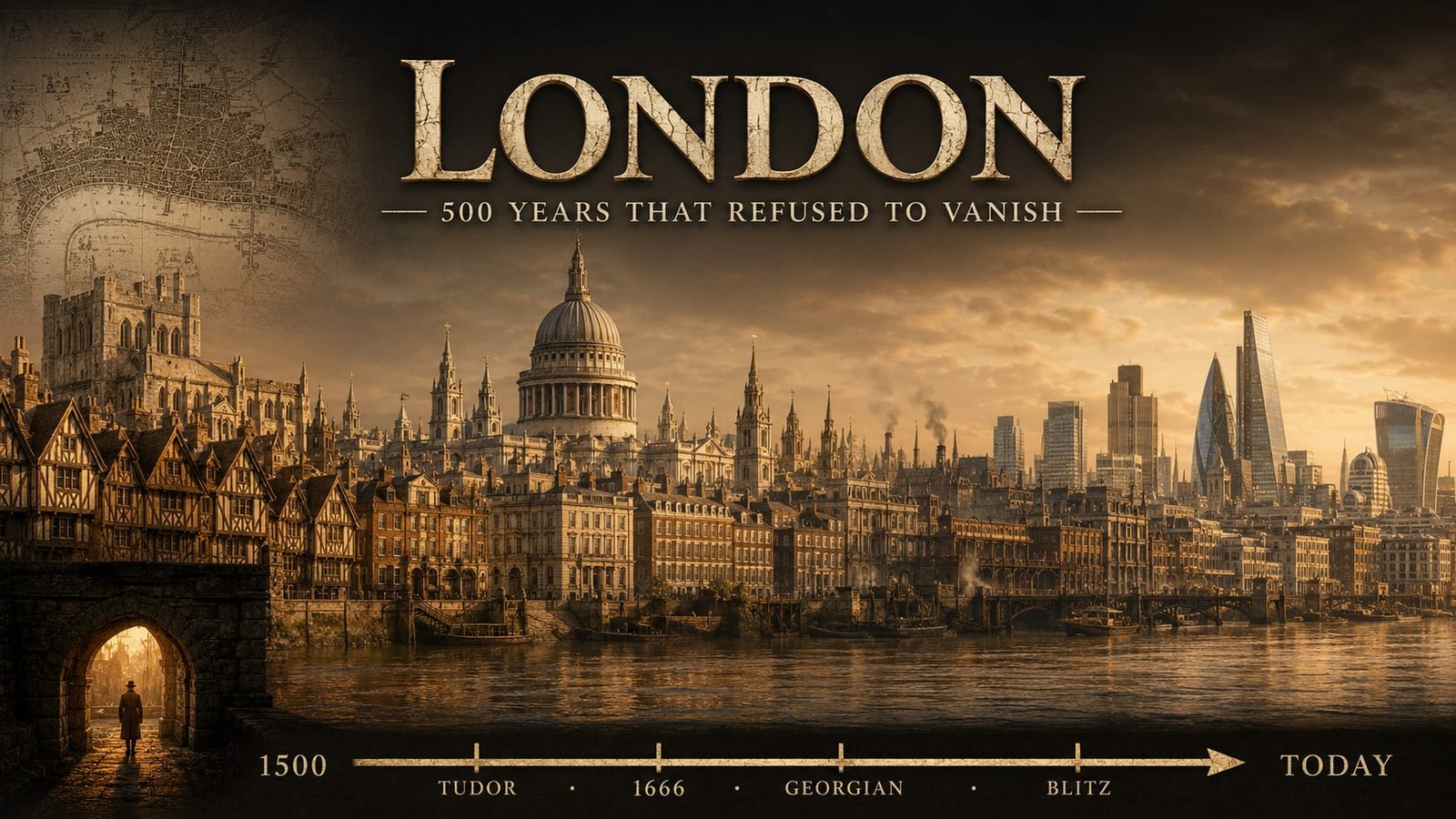
What Wren did get was the churches. Fifty-one City churches and St Paul’s, which is why London’s historic skyline distributes its spires across the whole City rather than concentrating them.
The Georgian square
The next phase of London’s growth was speculative, and the square was its product.
The mechanism: a landowner lays out a garden, builds terraces around it on long leases, and sells those leases. The garden costs him land he cannot build on, and returns the value with interest because the houses facing it command more. The uniform façade is not an aesthetic programme — it is the cheapest way to build a terrace and the most saleable way to present it.
That is why so much of central London reads as elegant restraint. Restraint was the business model.
The Great Stink and the city underground
By the mid-nineteenth century the Thames was effectively an open sewer, and in the hot summer of 1858 the smell reached Parliament, sitting directly on the river. The Great Stink got a sanitation bill through in a matter of weeks after years of inaction.
Joseph Bazalgette’s response was a network of intercepting sewers running parallel to the river, catching the outflows before they reached the centre and carrying them downstream. It was accompanied by embanking the Thames itself, which narrowed the river, created new land, and gave the sewers and later the Underground somewhere to run.
London’s answer to a crisis at street level was to build a second city below it. The pattern repeats: the world’s first underground railway opened in 1863.
The Blitz, the Barbican, and concrete London
Bombing in 1940–41 cleared large areas, particularly around the City. What was built on those sites afterwards was the product of a different philosophy — comprehensive, planned, and unapologetically modern.
The Barbican is the clearest case: a whole quarter rebuilt as a single designed object, raised walkways and all, on ground the bombing had emptied.
This is where the awkward question sits. In several places the post-war rebuild removed more surviving historic fabric, and more of the old street pattern, than the bombs had. That is not a comfortable thing to conclude, and the evidence for it is genuinely mixed.
A skyline of rules
Modern London’s towers are not distributed by where developers would most like them. They are constrained by protected views — sightlines to St Paul’s from a set of defined points across the city, within which building height is limited.
That is why the tall buildings appear in clusters with gaps between them. The clusters are where the sightlines are not.
Why London looks like London
Paris was decided. Rome was accreted and then curated. London was repeatedly hit, and each time rebuilt around what happened to survive.
The result is collision: a fragment of Roman wall against a 1960s podium, a Wren spire framed by glass, a medieval lane that now runs between office blocks because the lane was a property line before either of them existed. The city is not composed. It is layered, and it never stops showing you the seams.